Microwave remote sensing to be applied in China's transport information
Xinhua |
Updated: 2018-05-24 09:36


Share


Share - WeChat


BEIJING -- China's transport information will be helped by microwave remote sensing, according to the Science and Technology Daily on Wednesday.
InSAR, or microwave remote sensing, provides all-day millimeter-level monitoring of infrastructure over a large area.
A remote sensing laboratory was unveiled on Tuesday by China Transport Telecommunications and Information Center (CTTIC) and Airbus Defense and Space. The two sides will cooperate to provide more accurate transport information.
Microwave remote sensing is not influenced by weather and visibility.
According to Li Yuanting, senior engineer at the CTTIC, InSAR can monitor the area of 1,500 square kilometers and record tiny changes in the shape of Earth's surface within the area.


- NEV surge contributes to record air quality improvement in Beijing
- China's Global Governance Initiative receives positive feedback at forum
- China's Xizang sees steady tourism growth in 2025
- First-of-its-kind pearl auction held utilizing Hainan FTP
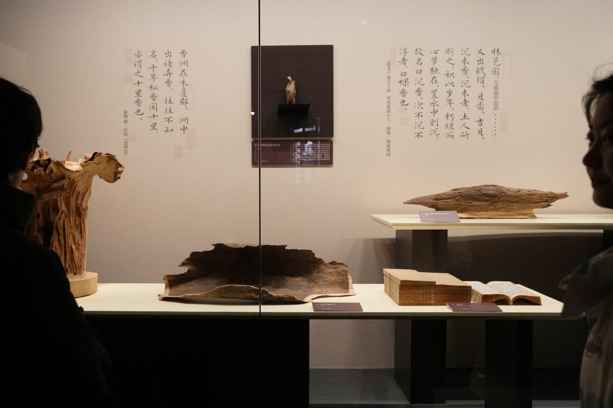
- Agarwood exhibition steeps Shanghai museum in fragrance
- The Fujian Coast Guard conducts regular law enforcement patrol in the waters near Jinmen