Chinese satellites join relief efforts after Xinjiang quake


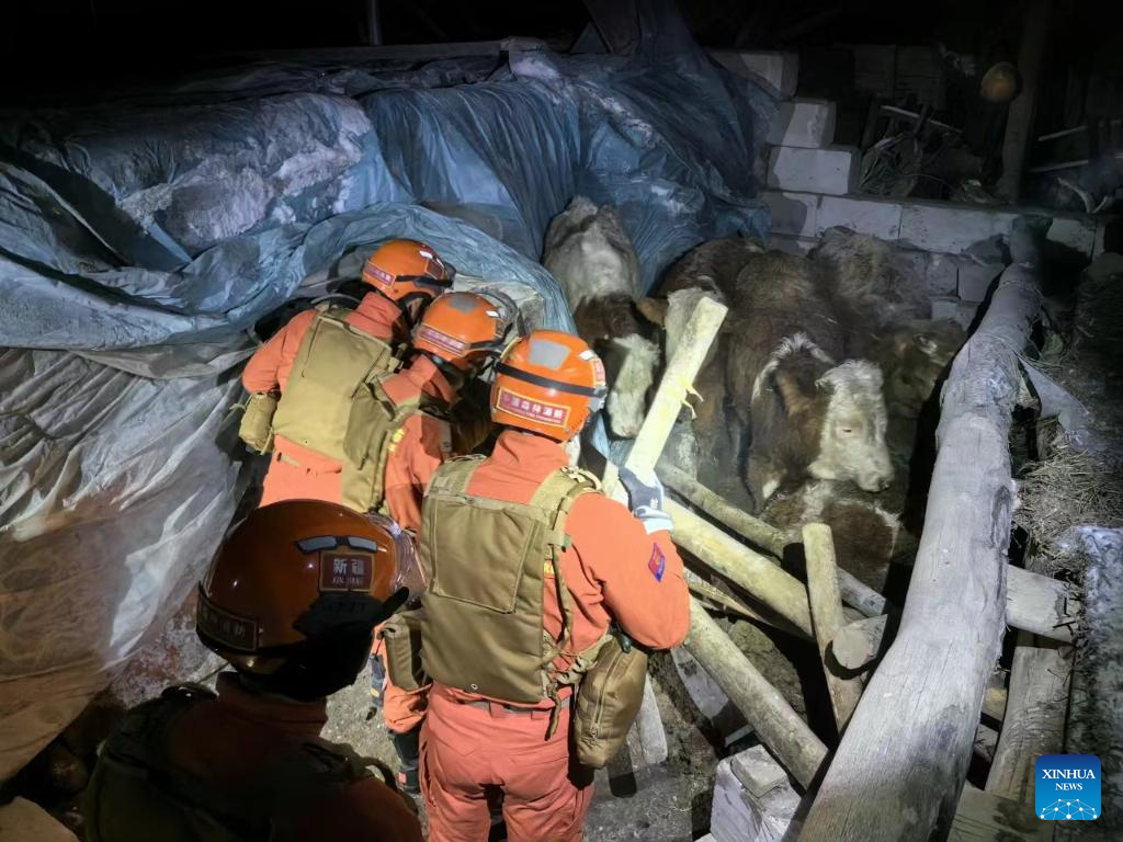
BEIJING -- China has applied its Gaofen series satellites to help with the relief work following a 7.1-magnitude earthquake in Northwest China's Xinjiang Uygur autonomous region, said the China National Space Administration (CNSA) on Tuesday.
Satellites including Gaofen 4 and Gaofen 1 families were deployed to capture images of the quake-hit areas. The remote sensing images of the earthquake hit areas will be instantly shared to the emergency departments for damage analysis, said the agency.
The CNSA will continue to mobilize civil satellites to support disaster prevention and relief efforts, and provide spatial information support for disaster monitoring and decision-making, it added.
Three people have been killed and five others injured in the earthquake that jolted Wushi county in Aksu Pprefecture of Xinjiang at 2:09 am Tuesday (Beijing Time).


- Senior Chinese official urges sustained crackdown on cross-border gambling
- Xi signs order to promulgate regulations on military theory work
- China achieves breakthrough in extracting lithium from salt lakes
- Shenzhen logs milestone in green shipping progress
- China's icy regions attract Southeast Asian tourists
- Century-old TCM pharmacy pivots to become fashionable wellness brand