World's first intelligent geography tool unveiled


Chinese scientists unveiled the world's first multimodal geographic science model, Sigma Geography, which can answer professional geographic questions, analyze geographic literature, query geographic data resources and even create thematic maps.
Compared to general-purpose large language models, it boasts an increase in accuracy in the field of geography of about 31 percent, the research team said.
Sigma Geography was jointly developed by the Institute of Geographic Sciences and Natural Resources Research, the Institute of Tibetan Plateau Research and the Institute of Automation, all under the Chinese Academy of Sciences.
The research team established a comprehensive geographic corpus covering four major categories and 16 subcategories, providing 32.3 billion geographic tokens for the large model's self-supervised learning. They also crafted over 40,000 high-quality geographic instructions for model fine-tuning.
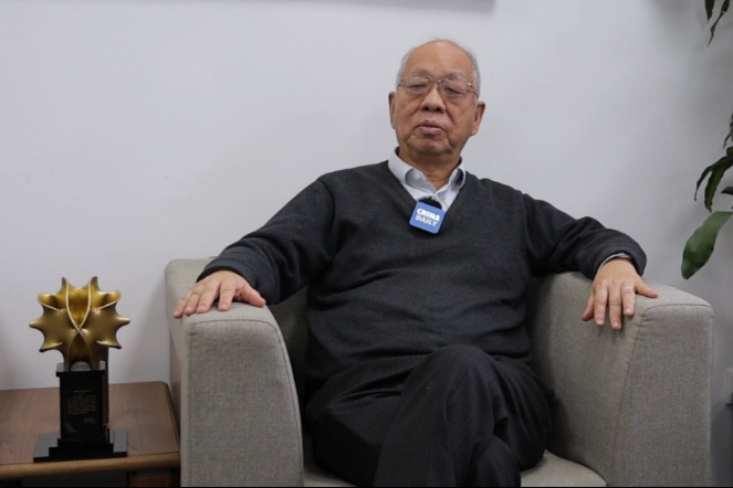
"Compared to general-purpose large language models, Sigma Geography is more familiar with the language patterns, professional terminology and domain knowledge of geography, leading to an accuracy improvement of around 31 percent on the geographic benchmark test set," said Su Fenzhen, deputy director of the Institute of Geographic Sciences and Natural Resources Research.
Su compared Sigma Geography with Chat-GPT in answering professional geographic queries and found that Sigma Geography provided more accurate and comprehensive responses, tailoring answers to the roles of different questioners.
The research team said this was achieved through an innovative user profile, and precise discrimination and response technology. Consequently, Sigma Geography can fully consider the cognitive and expressive differences in geographic scientific knowledge systems among geography enthusiasts, geography students and researchers, providing tailored solutions to professional geographers' questions that align with users' knowledge structures through a combination of text and images.
In addition, Sigma Geography can retrieve different geographic elements based on generated text answers, match them with geographic landscape photos, thematic maps or schematic diagrams for presentation to questioners and follow user instructions to complete processes such as data acquisition, information analysis and map production, ultimately generating the specialized geographic charts users need.
Sigma Geography has supported the publication of over 10 high-level academic papers in journals such as Nature sub-journals, The Innovation and Earth's Future, according to the research team.
In the future, the research team plans to advance the development of large-scale map models and geographic reasoning engines, Su said.
It also intends to build a collaborative platform for geographic research, allowing every scientist and research team to possess exclusive geographic models for collaborative work with millions of scientists through shared data, models, research ideas, and more.
Liu Jiping, a researcher and deputy director of the Chinese Academy of Surveying and Mapping, said that the development of the Sigma Geography large model marks an important step forward in intelligent geographic science, with broad application potential and profound academic value.
"Sigma Geography has great potential in geographic research collaboration," he said. "It can assist geospatial professionals in automating complex research processes from data collection and analysis to mapping, greatly enhancing work efficiency.
"I am looking forward to future integration with Sigma Geography to achieve intelligent and automated processing of a large number of remote sensing images, 3D terrain analysis and other data … further enhancing the … efficiency of data analysis."


- China ramping up Nipah virus surveillance
- Shanghai to host embodied intelligence expo in July
- Chongqing sets GDP growth target of over 5% for 2026
- Xinjiang strengthens economic, cultural ties with Hong Kong, Macao
- Former senior political adviser sentenced to 12 years for bribery
- Hubei's government becomes first in China to add 'emotional value' to work report